
The New Map of Empire : How Britain Imagined America before Independence / S. Max Edelson.
Material type: TextPublisher: Cambridge, MA : Harvard University Press, [2017]Copyright date: ©2017Description: 1 online resource (480 p.)Content type:
 - 9780674972117
- 9780674979017
- 526.097/09033
- online - DeGruyter
- Issued also in print.
| Item type | Current library | Call number | URL | Status | Notes | Barcode | |
|---|---|---|---|---|---|---|---|
 eBook
eBook
|
Biblioteca "Angelicum" Pont. Univ. S.Tommaso d'Aquino Nuvola online | online - DeGruyter (Browse shelf(Opens below)) | Online access | Not for loan (Accesso limitato) | Accesso per gli utenti autorizzati / Access for authorized users | (dgr)9780674979017 |
Frontmatter -- Contents -- Maps -- A Note on the Maps -- Introduction -- 1. A Vision for American Empire -- 2. Commanding Space after the Seven Years' War -- 3. Securing the Maritime Northeast -- 4. Marking the Indian Boundary -- 5. Charting Contested Caribbean Space -- 6. Defining East Florida -- 7. Atlases of Empire -- Conclusion -- Abbreviations -- Notes -- Map Bibliography -- Acknowledgments -- Index
restricted access online access with authorization star
http://purl.org/coar/access_right/c_16ec
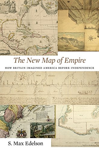
In 1763 British America stretched from Hudson Bay to the Keys, from the Atlantic to the Mississippi. Using maps that Britain created to control its new lands, Max Edelson pictures the contested geography of the British Atlantic world and offers new explanations of the causes and consequences of Britain's imperial ambitions before the Revolution.
Issued also in print.
Mode of access: Internet via World Wide Web.
In English.
Description based on online resource; title from PDF title page (publisher's Web site, viewed 26. Aug 2020)